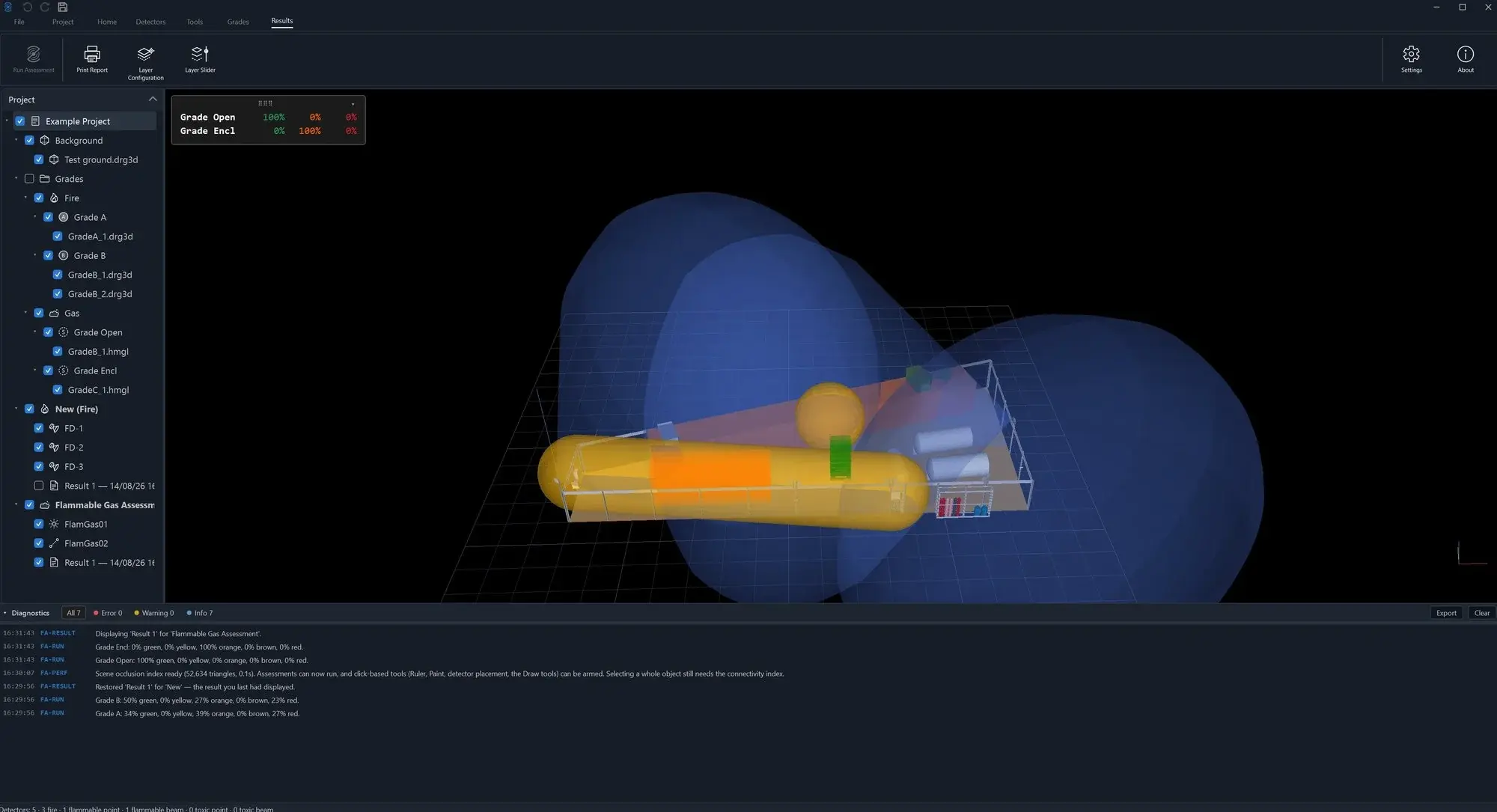
Thirty years of mapping expertise in the engine, kept current with every standards revision, behind a modern, considered UI. The project tree, the 3D workspace and graded results in one place. This is HazMap3D as your engineers will use it. Click any image to enlarge.


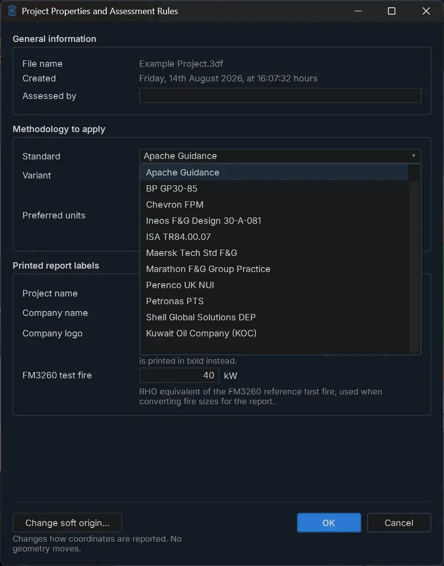
The public standards and the operator methodologies that specify F&G mapping studies are maintained inside the tool, revision by revision. Deliver designs that comply with what the client actually wrote.
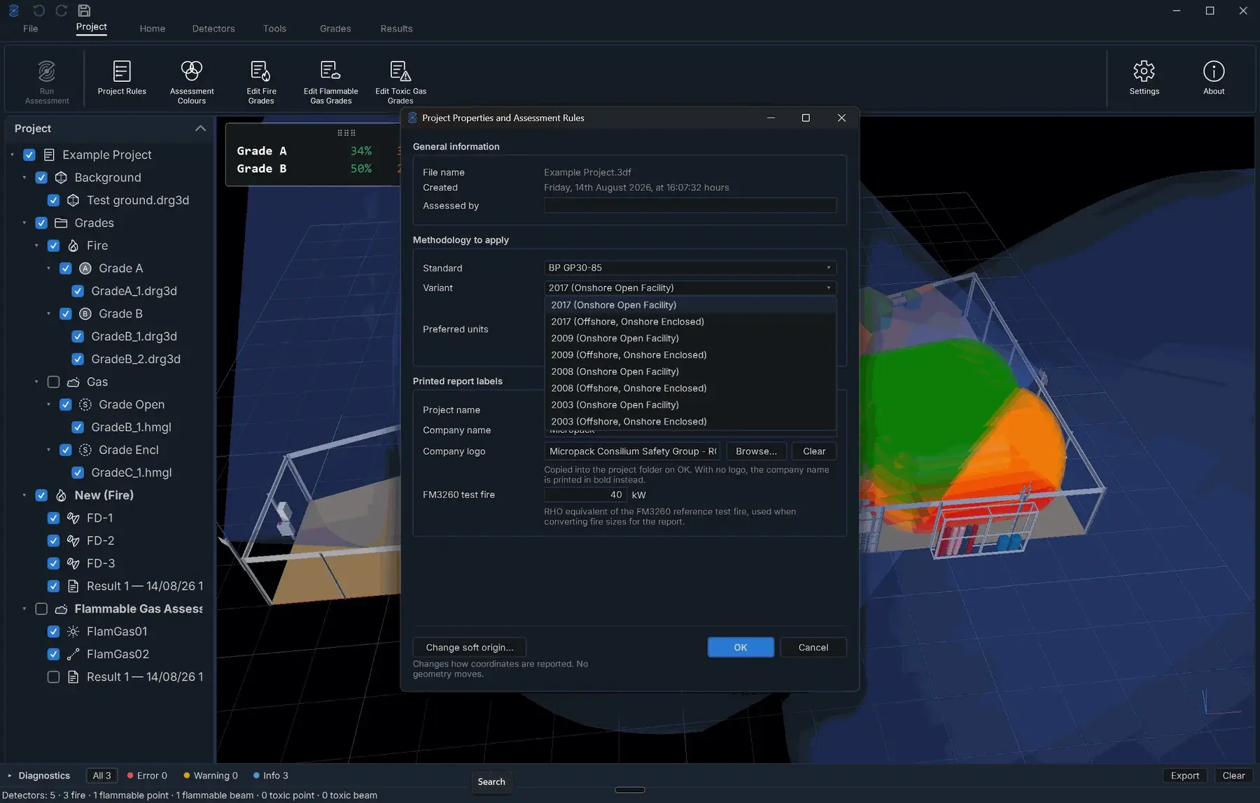
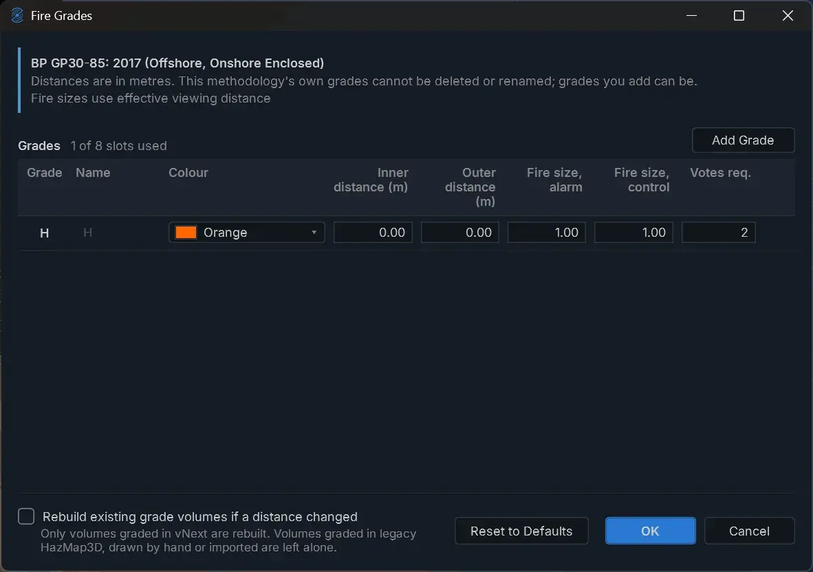
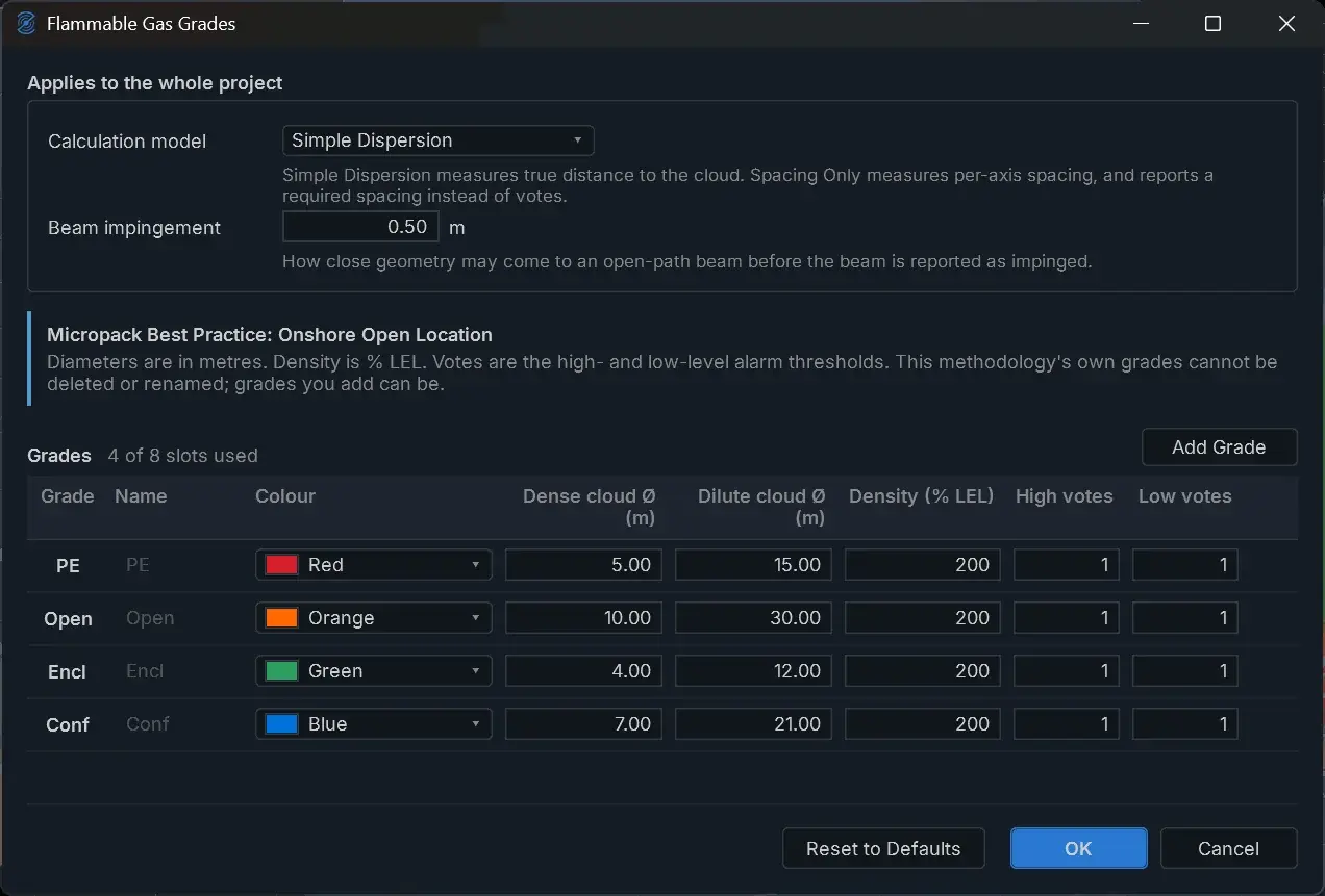
Each standard is held revision by revision. BP GP30-85 alone carries eight variants, from 2003 to 2017, onshore open and offshore enclosed. Select the standard and variant, and the fire grades, gas grades, performance targets and report labels follow. Nothing to transcribe, nothing to get wrong.


Standards updates are included in every subscription. When a standard revises, subscribers are up to date.
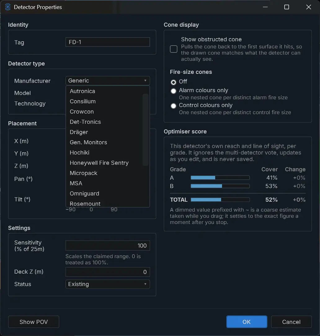
Field-of-view data for 17 manufacturers' flame detectors is installed as standard. Pick the manufacturer, model and technology your project specifies, and the coverage cones and claimed ranges follow. HazMap3D is manufacturer-neutral: map the detectors you're actually installing.

Import your facility, place detectors from the built-in FOV library, assess coverage against the standard, and issue an auditable report.
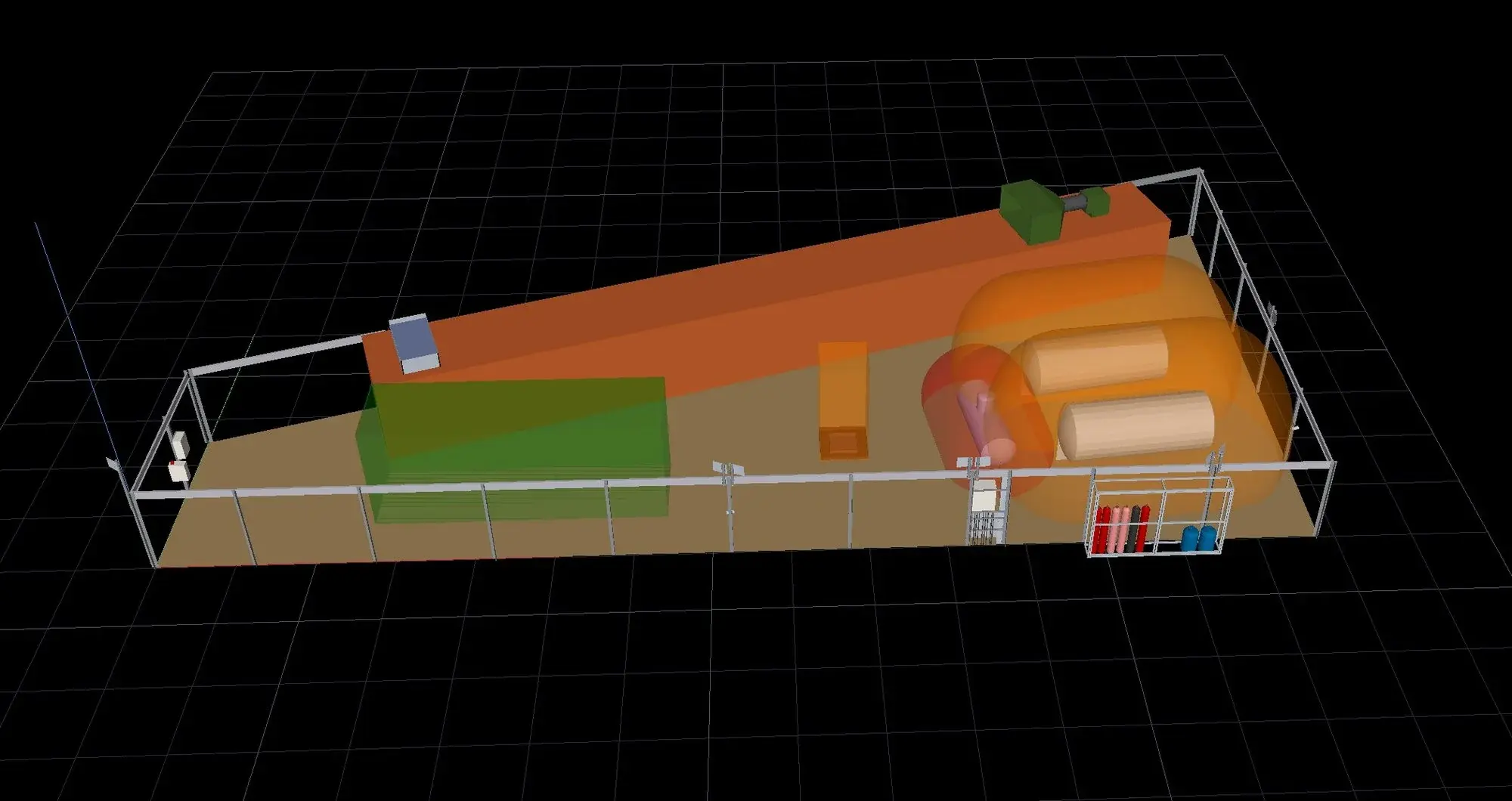
Bring in your 3D facility model and work in full 3D from the start.
Position gas and flame detectors. Field-of-view data is built in for every supported flame detector.
Assess coverage in full 3D against the performance targets defined by the standard.
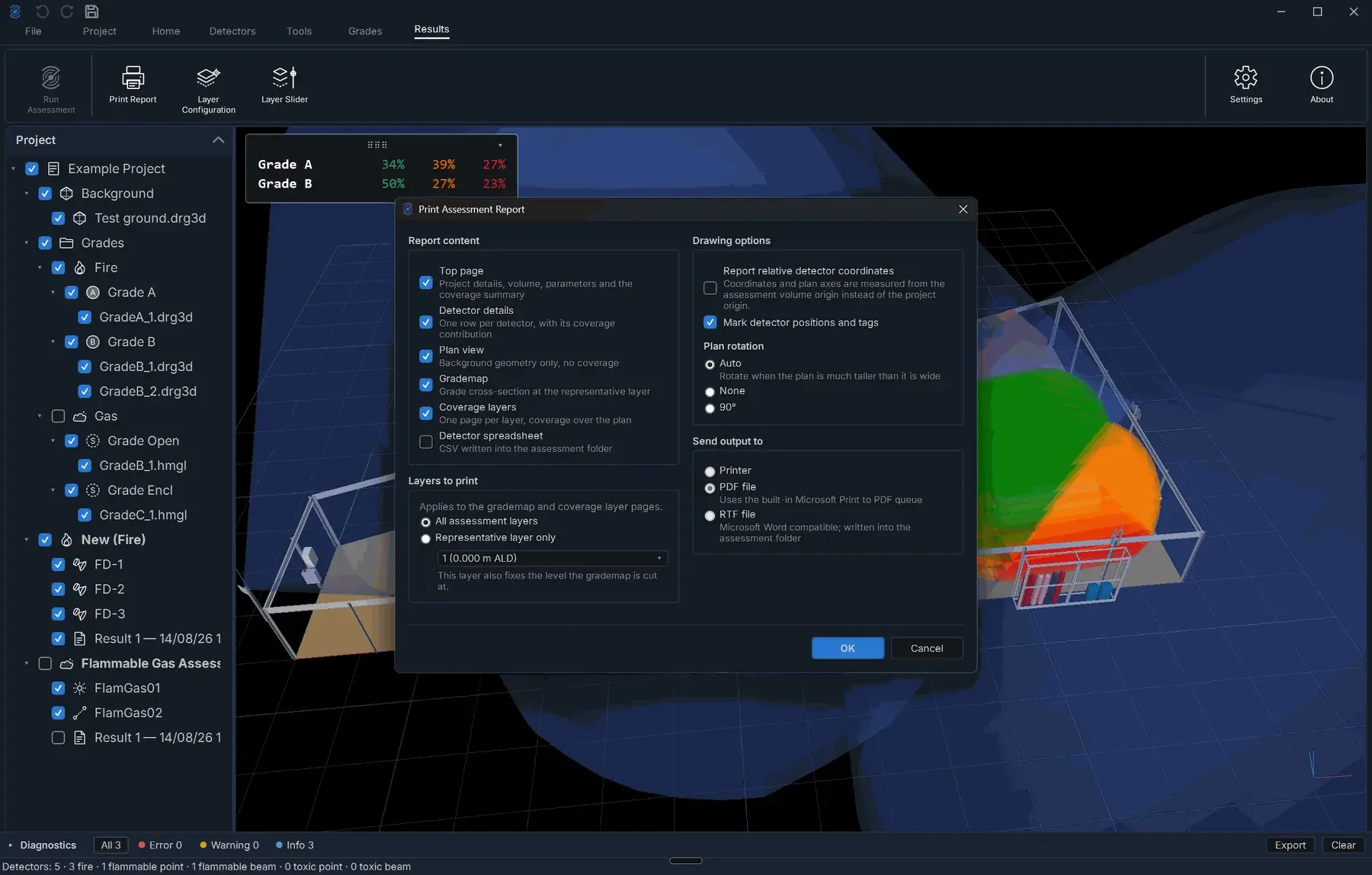
Issue standardised, auditable reporting your reviewers and clients can verify.
Energy is where F&G mapping was born, but the method applies to any high-risk industrial facility that must demonstrate detection coverage. Dig into your vertical.
Machinery spaces, cargo decks and process modules on FPSOs, shuttle tankers and gas carriers.
Explore marine →Turbine halls, energy-from-waste plants, battery storage and fuel-handling buildings.
Explore building →Aircraft hangars, rail depots, fuelling facilities and tunnels where fuel spill fires are the design case.
Explore transport →Machinery and magazine spaces, hardened aircraft shelters and fuel installations.
Explore navy →Engineers buy on the quality of the output. So the output, and the verification behind it, is public.

A full anonymised F&G mapping report: document control, grading rules, detector schedule, coverage results and findings. Ungated. Judge the deliverable before you spend a penny.
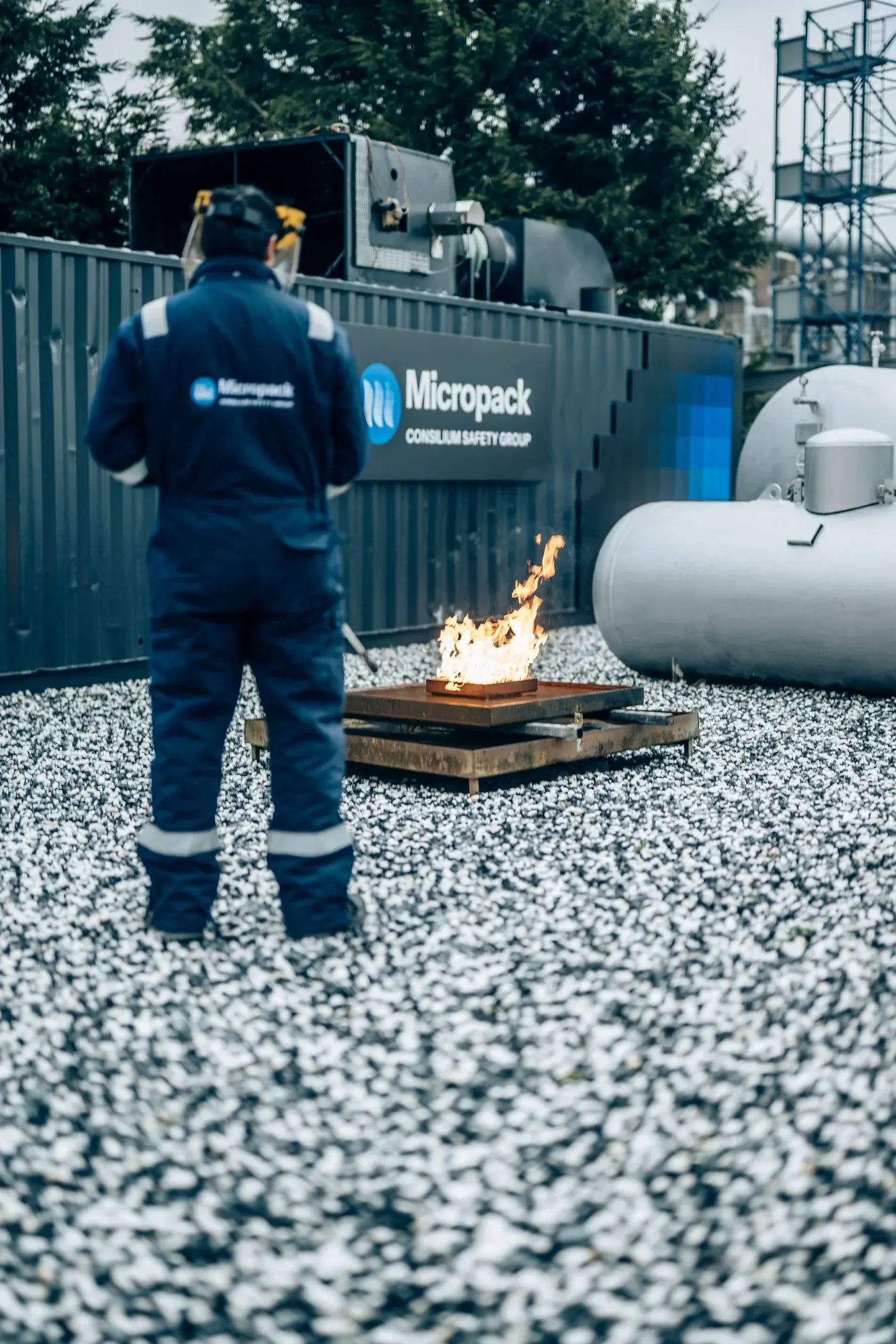
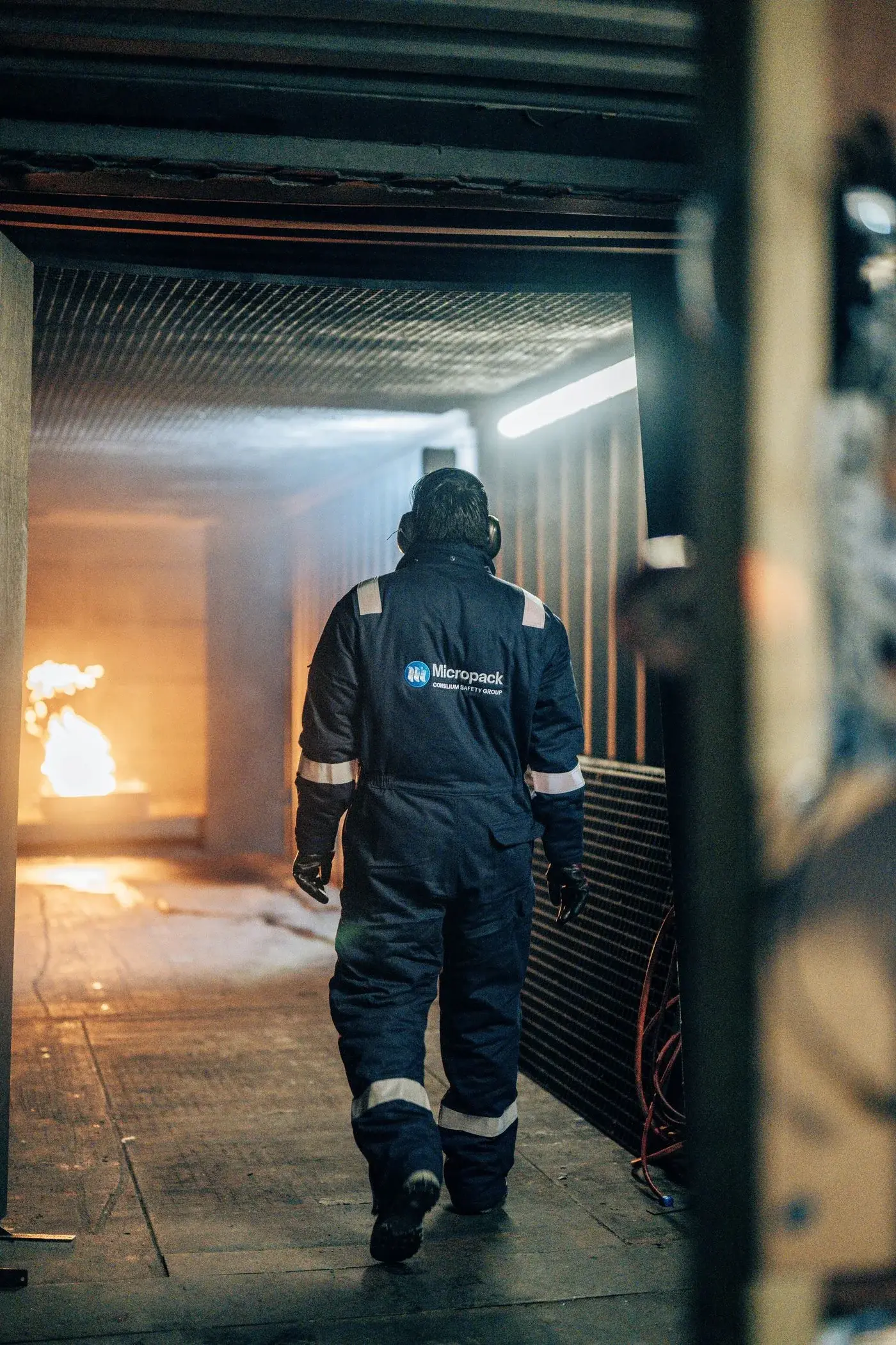
Coverage results verified analytically and against live n-heptane fire tests at Micropack's test ground. Six fire locations, three detectors, same outcome in software and in reality.
Import, place, assess, report. Plus XYZ sectioning: cut the 3D model on any axis to inspect coverage space by space.
Offshore, onshore and non oil and gas. Anonymised where required.


HazMap3D is validated with live fire and gas testing at Micropack's purpose-built fire test facility in Scotland. Real n-heptane fires, real detectors, real obstructions. The software predicted the system output at every test location.
Licensed and purchased directly via the website. All prices exclude VAT.
Developed and used daily by Micropack, the company that pioneered fire and gas mapping. The F&G systems of many of the world's largest oil and gas companies and industrial facilities were designed with this tool.
Micropack is part of the Consilium Safety Group, with global support behind every subscription.
consiliumsafety.com
Backed by Micropack consultants and exida-certified Fire & Gas Practitioner (FGP) training.
EPC contractors, fire and gas companies, safety consultancies, engineering houses and universities.